The third outcome for the Mapping Brisbane History Project is taking the information gained in the mapping on landscape and habitation, and in a latter development of the project, visual 2D or 3D experience of each study area in the late nineteen century, early twentieth century, and late twentieth century, will be produced. Phil Gunasekara from the Oxley Creek Catchment Association Office, is currently developing the digital tools to be able to create the landscape and habitation images. Here is presentation to the Brisbane Southside History Network on the early development of Phil’s work.
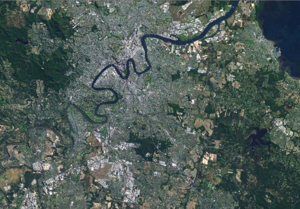
Built Environment
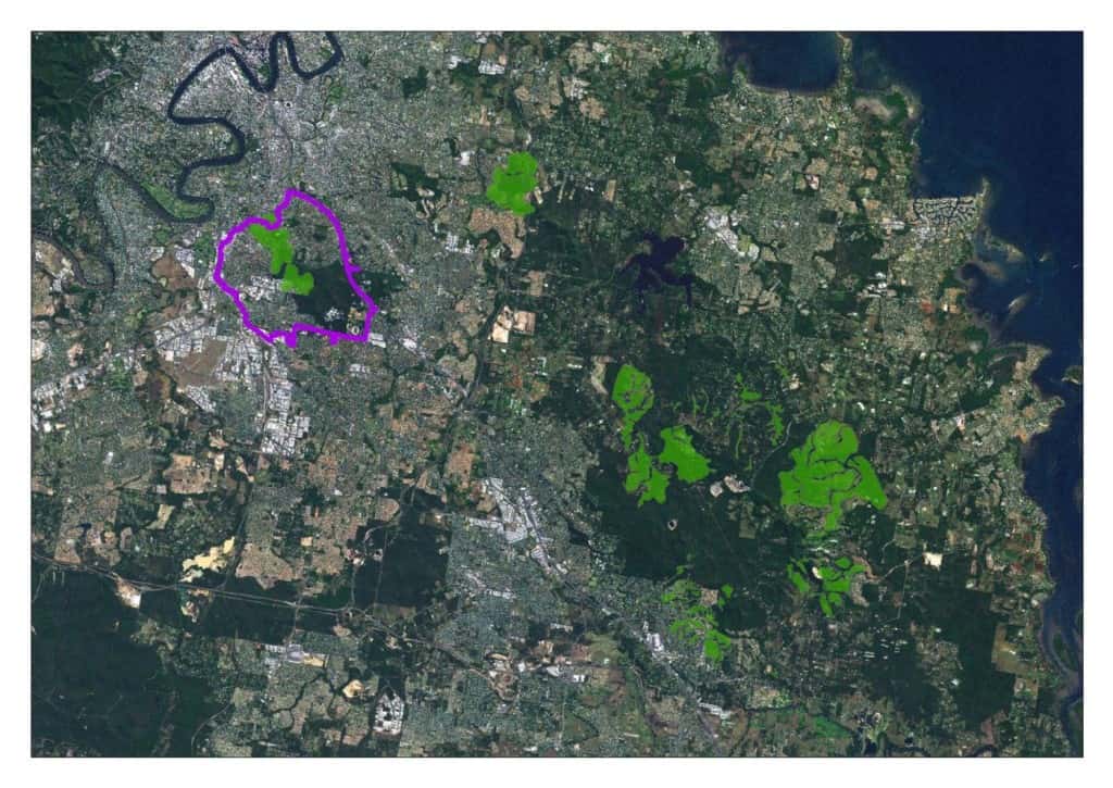
Pre-Clearing Regional Ecosystems
![]()
Regional Ecosystems: Moorooka, Salisbury, Nathan, Tarragindi
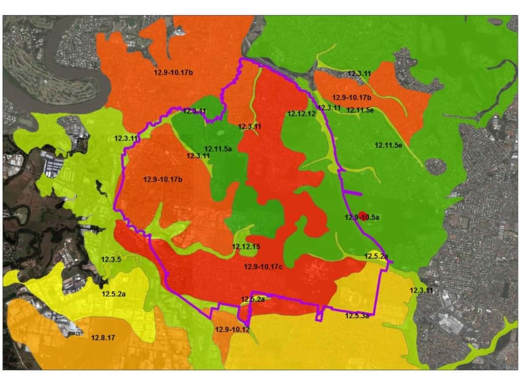
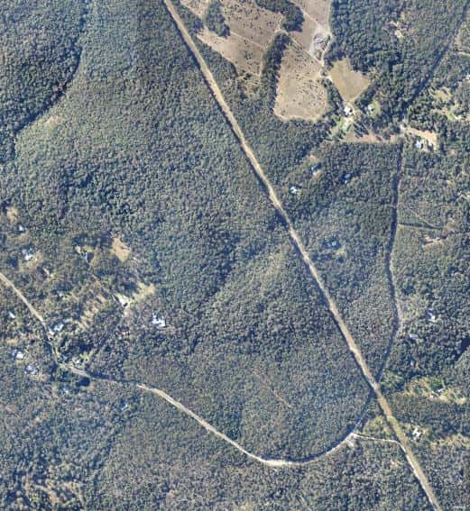
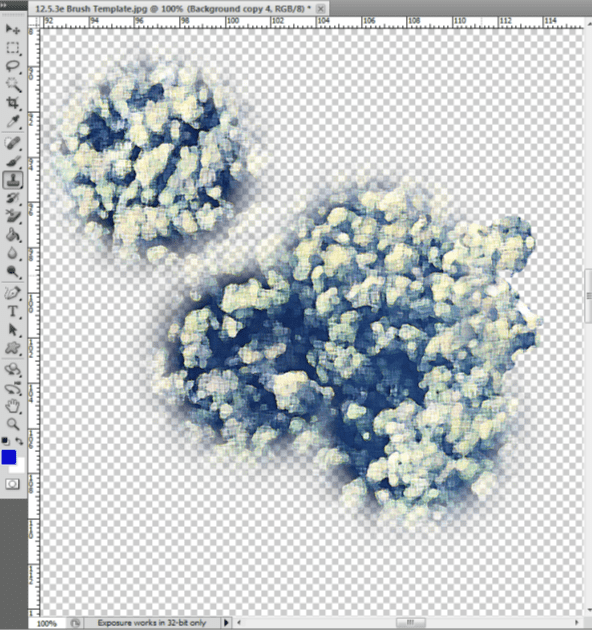
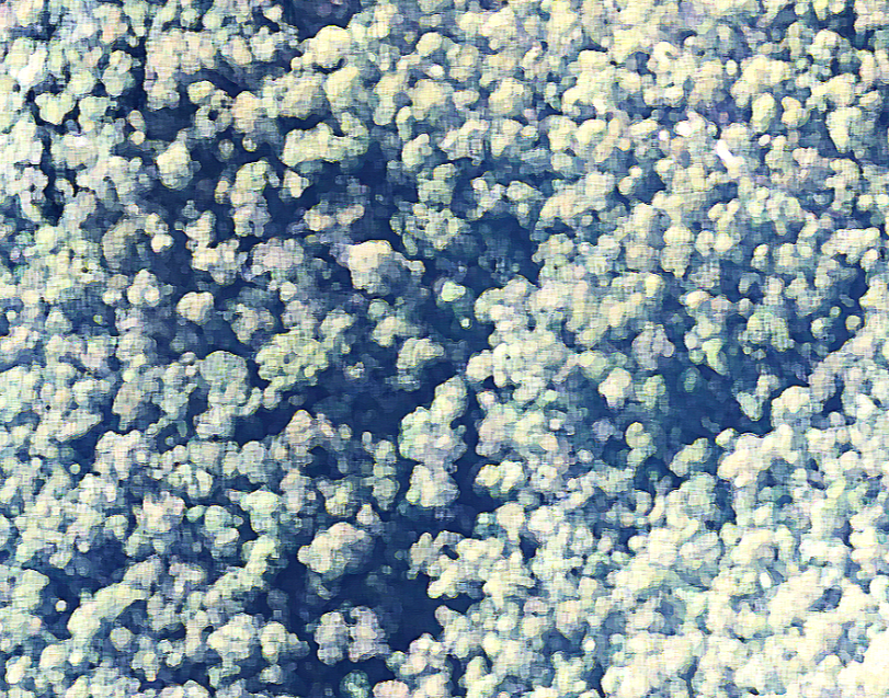
Regional Ecosystem 12.5.3e
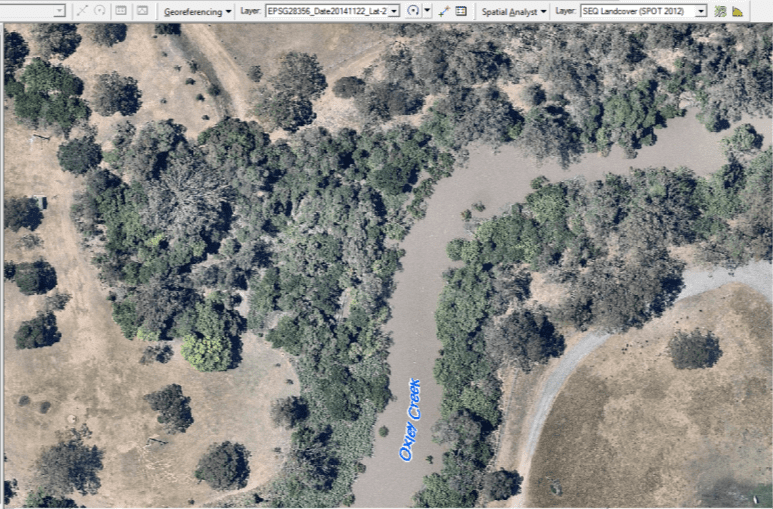
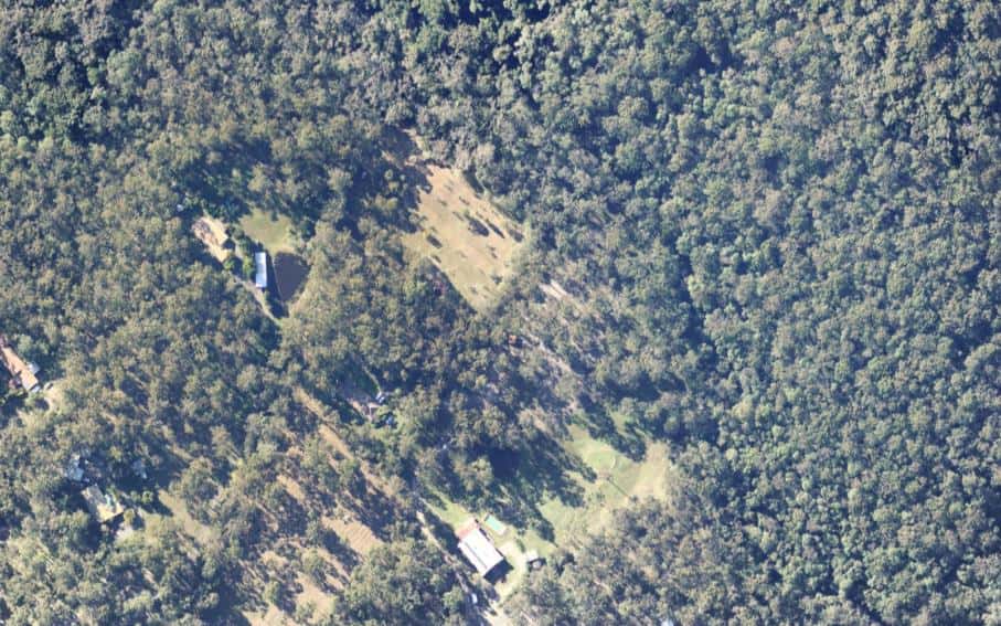
Aerial Image Processing
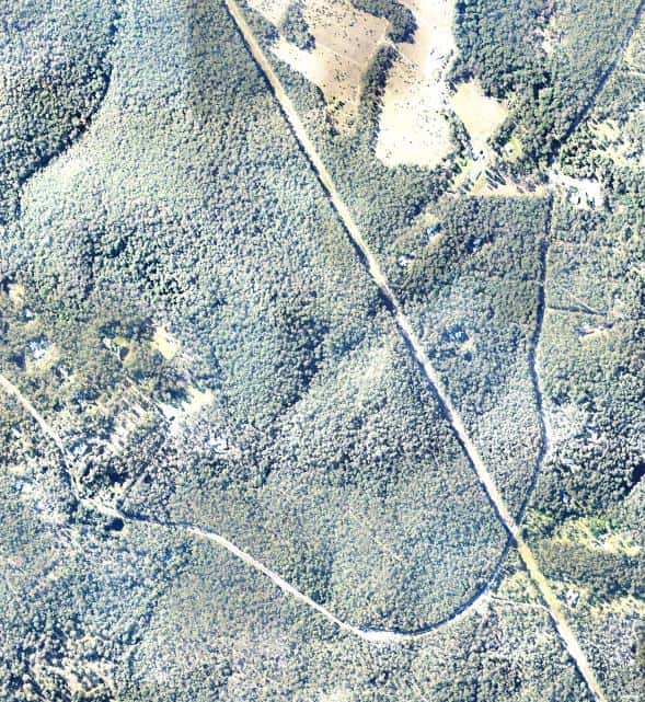


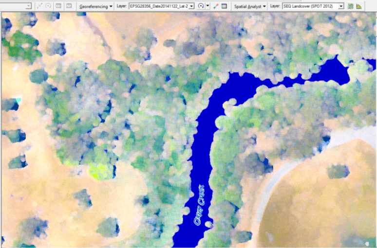
Custom Imagery Styles