Name: Baptist College
Time: 1939 - 1954?
Epoch: Early 20th Century
Category: Religious College
Institution Category: Education
Institution Group: Tertiary
Coordinates: -27.4881383333333, 153.003638333333
Street Address: Baptist Theological College, Corner of Gray Road and Hoogley Street, Hill End
Suburb: West End
Sector: Independent \'Protestant\'
Local Study Area: West End-South Brisbane-North Woolloongabba
Study Stage: MBSH Stage 3 Local Study Areas
Baptist Theological College (now the Malyon College)
Geographic Description 1: Inside The Green Belt
Geographic Description 2: Brisbane River
Geographic Description 3: Flood Plains; Hills (Hill End); Ridgeline (Short; leading into Highgate Hill)
Further research is underway.
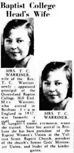
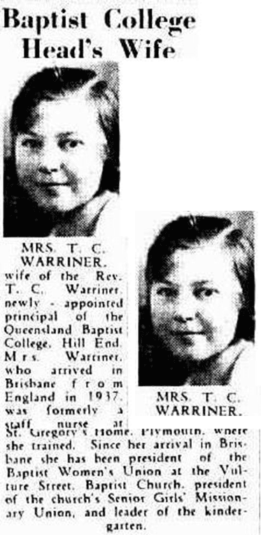
Baptist College Head’s Wife, The Courier-Mail, Wednesday 25 September 1940, p. 9. NLA Trove
