
Information
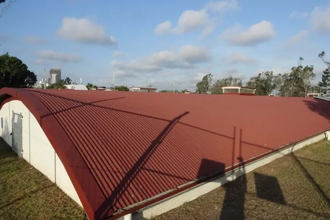
A reservoir was constructed on the high ridge abutting Gladstone Road in 1889 to meet the water demands of increasing urban development. Before this time, water was piped through mains across the Victoria Bridge, but the higher ground of Highgate Hill was poorly served by this arrangement. The concrete-walled reservoir was comprised of two distinct compartments, each one divided in two to facilitate cleaning. The total length was 70 metres, width 50 metres. The water depth was four metres. There was a roof over the top designed to keep the water cooler in summer.
Citations
Brisbane Courier, 4 July 1889, 10 October 1889.
Image Citations
Highgate Hill Reservoir, 2016. ‘Highgate Hill and its History’ (https://highgatehill-historical-vignettes.com/2016/12/17/highgate-hill-reservoir-1889)
Map References
QSA. QSA Series ID 2043 City of Brisbane and Suburbs Maps – A1A Series. 8 chains to the inch. Plan of the City of Brisbane and suburbs according to the original Crown Grants. 8 chains to the inch. Survey Office, Brisbane.. 634511