
Information
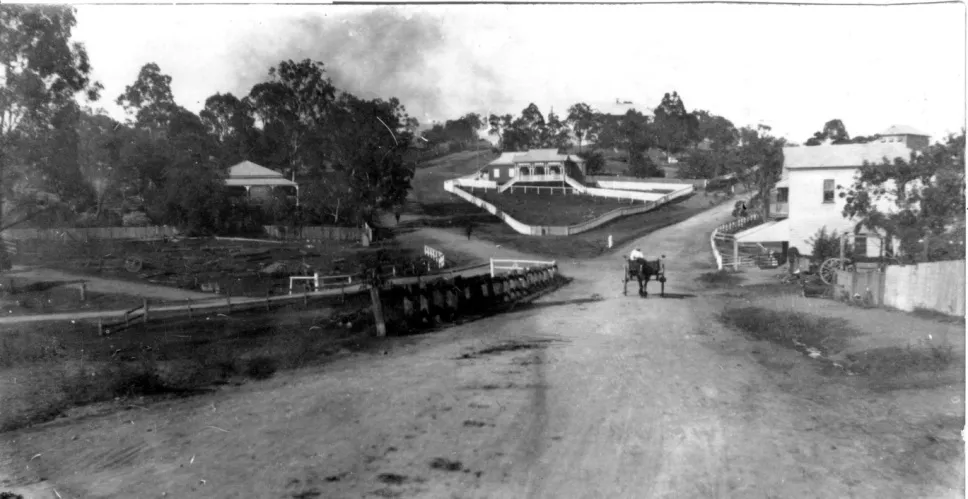
The Taringa Shire Council was formed on 31 March 1903, arising from the Taringa Divisional Board (2 June 1880).
Citations
Taringa History Group. 2 December 2017
Image Citations
Taringa Shire Council. Dorothy Welch. Postcard. c. 1913.
Map References
QSA. QSA Series ID 2043 City of Brisbane and Suburbs Maps – A1A Series. 4 chains to the inch. Brisbane and suburbs. Sheet 1. 4 chains to the inch. Brisbane, Survey Office. 634532