A NEW website is helping to uncover Brisbane’s forgotten past.
Mapping Brisbane History uses Google Earth to layer maps from the 19th and 20th centuries with historical facts to create a complete picture of different areas in Brisbane.
Assistant project manager Beryl Roberts said the website was for anyone in the community who wanted a different historical perspective of Brisbane.
“At the moment we have three pilot areas on the website including Sunnybank-Banoon, Moorooka-Tarragindi and Fairfield-Annerley,” she said.
“Once they have selected the area they want to know more about, users can just click on an icon on the map and it will bring up historical facts from different sources.”
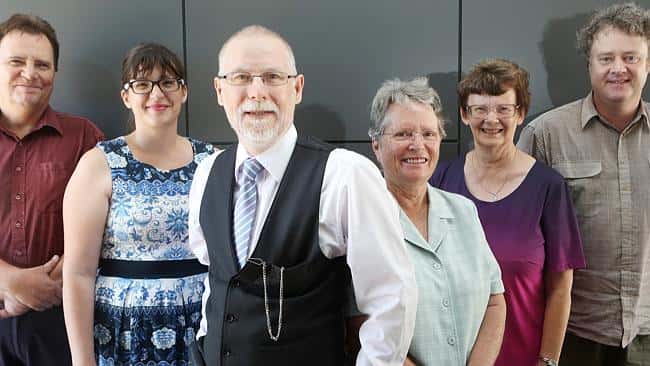
An initiative of the Coopers Plains Local History Group Inc, Mapping Brisbane History was developed by Dr Neville Buch, Beryl Roberts, Janice Cooper and spatial scientist Chris Burns.
Mrs Roberts said the team was now looking at expanding the website to include other suburbs.
“We have focused on the southside but there are so many different layers that can be added to the site,” she said.
“The idea now is to find other historical societies or community members who have information about their local areas who want to link in with the site.”
Mapping History Brisbane was officially launched earlier this month. Visit mappingbrisbanehistory.com.au.