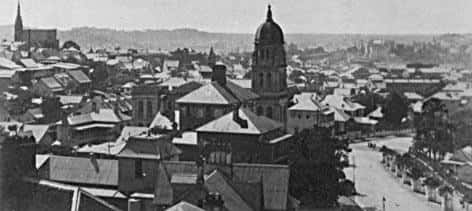
View of Brisbane. c. 1925. Brisbane City Council. BCC-B120-23552.
The Mapping Brisbane History website is a very unusual website, one that is very unique for Queensland, and even Australia.
We believe that anyone can discover bigger worlds within smaller units, and in doing so, we find together the freedom to traverse the boundaries.
There are five groups of 11 regions with 66 study areas.
It is open for curious Brisbane residents to have a look, and it is open for all historians and geographers would want to learn about Brisbane’s past in a comprehensive and inclusive approach.
And it is ongoing. We are far from finishing. To date we have 1,060 sites across Brisbane. Many more sites are to come, and we will be periodically revising, correcting and adding to the website.
Interact with the map and the 1060 sites.
The Purpose of Mapping Brisbane History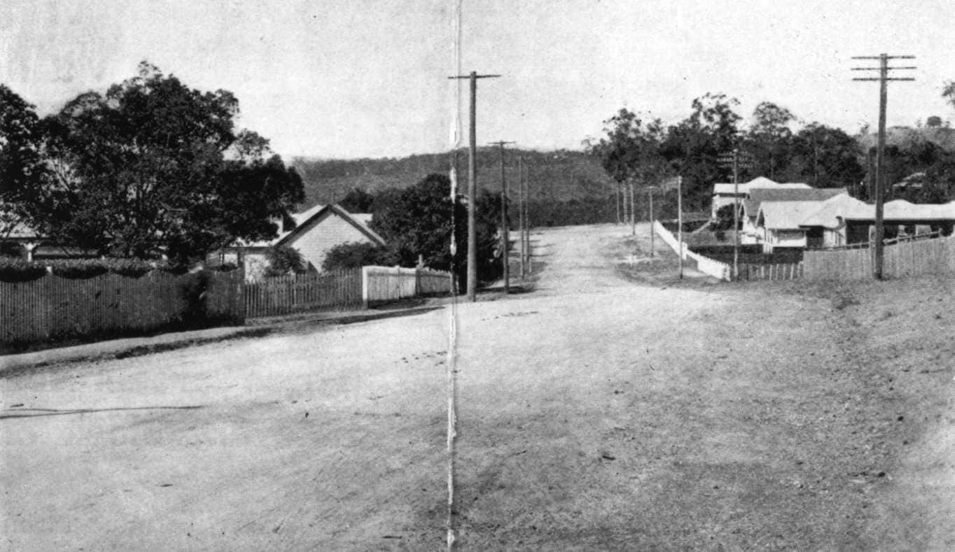
Cracknell Road, Tarragindi. c. 1925. Brisbane City Council. BCC-B54-35201.
The Mapping Brisbane History website is a very unusual website, one that is very unique for Queensland, and even Australia. There are many online mapping sites for history, but very few pay much attention to the research techniques and perspectives of scholarly history and geography. Furthermore, the strength of Mapping Brisbane History website is that has been created from wide community interaction, with local history organisations contributing their knowledge to the project.
The purpose of the website is two-fold. Anyone can have an opportunity to learn about the history of Brisbane in the spatial dimension. The second purpose is a tool for local historians and geographers to study the past in terms of space-time interpretive structures. It allows writers of Brisbane’s history to understand the many different settlements and human geographic units.
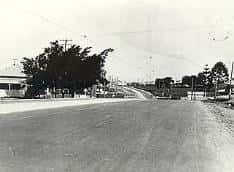
Gympie Road, Kedron c. 1925. Brisbane City Council. BCC-B54-A1030.
“Think global, act local”
It is now an old adage, attributed to the town planner and social activist Patrick Geddes, from his 1915 publication, Cities in Evolution.
In local studies the choice should not be the boundaries of the parish, as in parochialism (“a local shop for local people”), or to be abandoned to ‘Big History’. There has been for too long the losing out to either of the great fallacies: losing all particularities to overgeneralisation, or losing the ‘big picture’ to a forest of fragmented details. Structure is not the villain that is has been made out to be, and not all structures are the same. Examining networks inside the local area can be emancipative. We can discover bigger worlds within smaller units, and we realise that this is the freedom to traverse the boundaries.
The Mapping Brisbane History is a step to act locally, but to think of historical sites in terms of global themes, particularly as social organisation on the local scale and the question of how we – as Brisbane residents – lived together.