Stage Number: MBSH.05.06.06
Group: Western
Local Study Area: Wacol-Richlands-Inala
Epoch: Late 20th Century
Street Address: Corner of Boundary Road and Formation Street
Latitude & Longitude: -27.60422222,152.93183333
Time Link: 1948
Map Link: 1951
Image Time Point: 1951
The original Carole Park school opened in September 1948 with an enrolment of 24 pupils. It began as one-teacher school (John Hill) and was still a sparsely-populated area known as Carole Park via Wacol. The school grew during the 1960s because of an increase in migrants and refugees living in the local area. Many of these people – who were mainly Russian or Polish – had come from the nearby Wacol Migrant Camp. Land in Carole Park was inexpensive, and during the late 1960s the Queensland Housing Commission bought up land there for cheap housing, with the first tenants moving in during 1971. Many of these new arrivals were British subjects, again from the Wacol Migrant Camp. With the school buildings now being too small for demand, the school was relocated to its present location on Waterford Road, Carole Park, in 1973, with an opening enrolment of 470 students.
Carole Park State School, ‘Our History’ (https://caroleparkss.eq.edu.au/Ourschool/History/Pages/History.aspx), sighted 18 July 2017; Richlands, Inala and Suburbs History Group, ‘Carole Park’, (http://rihghistory.org.au/our-suburbs/carole-park), sighted 20 August 2017.
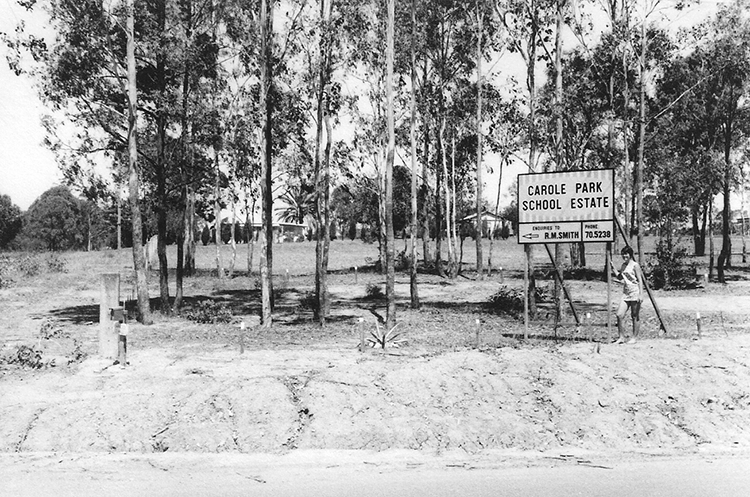
Carole Park School Estate, circa 1960s. Richlands, Inala and Suburbs History Group (http://rihghistory.org.au/our-suburbs/carole-park).
Qimagery. Greater Brisbane Area 1951. Scale: 1:16,000.
