Stage Number: MBNH.07.02.85
Group: Western
Local Study Area: Toowong-St Lucia-Indooroopilly
Epoch: Late 19th Century
Street Address: 69 High St, Toowong
Latitude & Longitude: -27.48708333,152.99052778
Time Link: 1866
Map Link: 1867
Image Time Point: 1867
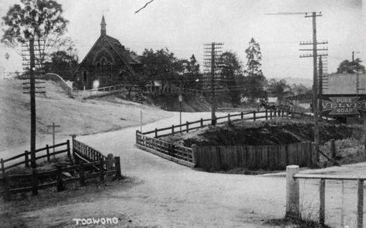
Many of the early settler of Toowong such as Richard Langler Drew, J B Fewings, W H Wilson, W L G Drew, W H Ellerker and W C Belridge were English members of the Anglican Church. In 1866 they built the first Anglican Church of St Thomas the Apostle on part of R L Drew’s land in Curlew Street. Being wooden it was ravaged by white ants. Following the upsurge in Toowong’s population when the railway came through in 1875, the second St Thomas Church was built in stone on its present site on the corner of Jephson Street and High Street in 1877. Today it still dominates this corner of Toowong.
Susan Leggat & Roslyn Grant (editors), Toowong a community history, (West Toowong Community Association, 2005)
St Thomas The Apostle Church. Toowong History Group
QSA. QSA Series 1748 Moreton District, County of Stanley Maps – A1 Series. 20 chains to the inch. Plan of portions 160 to 190, Parish of Indooroopilly, County of Stanley. 20 chains to the inch. Survey Office, Brisbane. 620523
