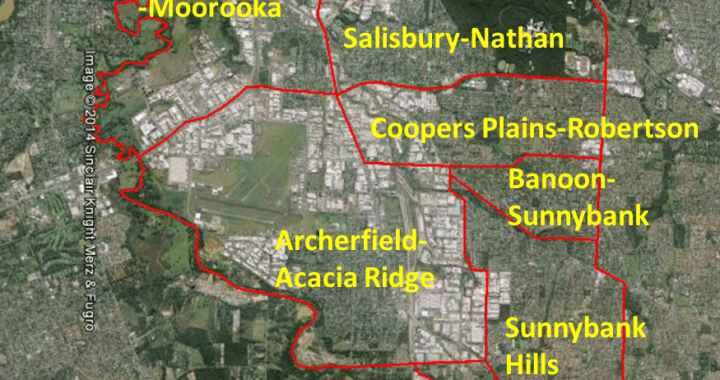
By conducting and publishing our groups’ latest research on Southside Brisbane land use through the BSHN’s (MBH — Mapping Brisbane History) mapping website, the project had provided a wealth of new, easily-accessible data to the public. The groups and experts embraced a broad spectrum of specializations (e.g. environmental knowledge, built heritage, Indigenous history, and business histories). Members of the Brisbane Southside History Network (BSHN) added insight into Aboriginal land use, histories of farming, commercial developments, transportation and the rise and fall of major landmarks. The process of the project had enabled the MBH Team to communicate and cross-fertilize each other’s realm of expertise more efficiently, and provide a more cohesive product for public access.
The ‘Southside Snapshot’ Project ensured the continual development of the Mapping Brisbane History website. Eight thematic essays were produced. The project was Stage Two between the original three pilot studies (Stage One) and three more stages to complete the mapping of the local history in the Brisbane Southside region. The revised model established five stages of the MBH website that can provide a complete mapping of local history for Brisbane and continuing small-scale local studies. The investment made by the Council in the community history grants would ensure an online, comprehensive, and detailed tool in historical geography is available for the general public in the decades ahead.
The successful development of Stage Two of the Mapping Brisbane History website in the first twelve months saw 1,708 sessions/visits from 1,526 visitors. Of those visitors, 1,131 were from Brisbane.